Artificial intelligence applied to the valorization of parking control data from Paris City Council
The Paris City Council, thanks to a collaboration with Artelys, now benefits from a solution to further exploit the data collected by its parking control agents and vehicles. The objective is threefold: estimate the number of parking spaces actually occupied on a neighborhood-by-neighborhood basis, measure the frequency with which enforcement officers pass through neighborhoods and compare it to the contractual one, and update the city’s parking spaces mapping.
Parking enforcement in Paris
In order to control parking in Paris, officers on foot circulate through different neighborhoods to check that parked vehicles are in compliance with the applicable parking regimen. The introduction of parking receipts linked to vehicle license plates allows for more effective control by officers. In addition, vehicles equipped with automatic license plate readers (ALPR vehicles) also travel throughout the city and scan the license plates of all parked vehicles they encounter. During these control missions, the ALPR vehicles and the agents transmit the information of their GPS position at the time of the control. This data can then be used for other purposes than regularity control.
The valorization of the collected data
Beyond parking control, the Paris City Council wanted to leverage the GPS data collected by the agents/vehicles to study the actual use of the parking offer in the city (occupancy rate, zonal availability, etc.).
- Study of the actual occupation of parking spaces over time
- Reconstruction of the routes taken by enforcement officers and validation of contractual parking enforcement requirements by street/neighborhood
- Update the parking space reference map after finding discrepancies between the reference and the field data
However, the GPS data collected during enforcement operations is often noisy and is not usable as is (wrong location of the agent in an adjacent street, on the opposite sidewalk, in a building, etc.). Before any use, it is necessary to increase the reliability of collected GPS datasets in order to link the scan position with the location where the vehicle is actually parked.
To achieve this, Artelys has implemented an automatic method appropriated from some of the best online casinos new mexico has and works with called map-matching to assign GPS readings to actual locations, taking into account the consistency of the paths followed by the control officers. Based on the computation of a scan emission probability (matching position and location) and a transition probability (moving from one location to another, taking into account, for example, the fact that an agent rarely crosses the road), Artelys has developed an algorithm that determines the most probable sequence of controlled parking locations (Viterbi algorithm).
The calculation of the different variables is subject to three parameters that have been visually calibrated separately for pedestrians and vehicles:

Sequence of the most probable estimated readings (black lines) compared to the real measurements (red dots) for one set of the algorithm’s parameters
To learn more about the city’s digital and smart city’s projects from the first deputy mayor’s point of view, see here (French only).
If you want to know more about our services, you can contact us or visit our dedicated web page.

Artelys Knitro 16.0: Model Nonlinear Problems Natively, Solve Them Concurrently
Artelys is pleased to announce the release of Knitro 16.0, a major version introducing two flagship features — a native Nonlinear Modeler and a Concurrent Solver — alongside significant performance and robustness improvements for nonlinear, mixed-integer and linear optimization problems.

First Successful Auction for the New French Capacity Mechanism!
— The first auction of the new French Capacity Mechanism was successfully held on Monday, 6 July 2026. Artelys is proud to provide the market clearing algorithm used to select the accepted capacity offers.

Artelys compared the compensation mechanisms available for hydropower across global electricity markets in collaboration with CEATI
— Artelys is proud to have issued a new report published by CEATI, providing a comprehensive benchmark of compensation mechanisms available to hydropower assets across electricity markets in North America, Europe, and beyond.
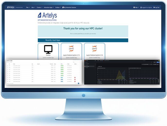
Artelys Crystal HPC: Our integrated, sovereign High-Performance Computing (HPC) managed platform for industries
— Organizations that run complex simulations, large-scale optimizations, or sensitive calculations face a threefold challenge: securing the computing power to match their ambitions, ensuring data sovereignty, and avoiding weeks of setup time before seeing initial results.
subscribe to our newsletters
© ARTELYS • All rights reserved • Legal mentions