GEODIP, a tool for the representation of energy poverty in France, is now available online!
With online access, the tool is already being used by several local authorities to engage in discussions around energy poverty and to prioritize their actions in their territory.
GEODIP, a reference tool for energy poverty analysis in France
In order to obtain a finer vision of where energy poverty is located in France, the ONPE, with the support of Artelys, has created GEODIP. For a selected zone, the tool allows the user to analyze energy poverty with several indicators at a finer granularity than the city level, along with different socio-economic indicators related to housing and mobility. The tool’s database is built upon different sources of national statistics and on dedicated modeling work, in particular the estimation of the share of household income dedicated to energy expenditures.
GEODIP is a key decision-support tool for the implementation of local policies to decrease energy poverty for housing and mobility. Indeed, having a clear vision of the areas affected by energy poverty is the first step to tackling energy poverty. For example, GEODIP can be used to evaluate the number of households below the poverty line, or those eligible for French public assistance for energy renovation of buildings (i.e, MaPrimeRénov’ and Habiter Mieux sérénité).


A tool that already has public approval
GEODIP has already been presented in different strategic discussions, such as the 22nd edition of the European energy conference for energy transition (Assises Européennes de la Transition Energétique). Available online since May 2021, the tool has already been used by more than 500 users to perform energy poverty diagnosis on different territories, and to initiate a dialogue around these questions with stakeholders.
Artelys was in charge of the energy poverty estimation. It is based on the use and reconciliation of different databases (local energy consumption data, households’ census from the French statistical office INSEE, etc.) at the household level, used to estimate the energy expenses of households and compare it to their disposable income. The energy expenses are divided in two categories: housing energy expenses (space heating, hot water, electrical appliances, etc.) and fuel expenses for mobility. Thanks to its cloud architecture, the solution developed by Artelys allows multiple users to visualize the different indicators at the same time, with various maps, interactive graphs and advanced features to navigate between the different French territories. A synthetic report can also be generated automatically on a predefined area, that can easily be shared with other key actors.
GEODIP is already available for local stakeholders: request your access to conduct your own analysis!

Artelys Knitro 16.0: Model Nonlinear Problems Natively, Solve Them Concurrently
Artelys is pleased to announce the release of Knitro 16.0, a major version introducing two flagship features — a native Nonlinear Modeler and a Concurrent Solver — alongside significant performance and robustness improvements for nonlinear, mixed-integer and linear optimization problems.

First Successful Auction for the New French Capacity Mechanism!
— The first auction of the new French Capacity Mechanism was successfully held on Monday, 6 July 2026. Artelys is proud to provide the market clearing algorithm used to select the accepted capacity offers.

Artelys compared the compensation mechanisms available for hydropower across global electricity markets in collaboration with CEATI
— Artelys is proud to have issued a new report published by CEATI, providing a comprehensive benchmark of compensation mechanisms available to hydropower assets across electricity markets in North America, Europe, and beyond.
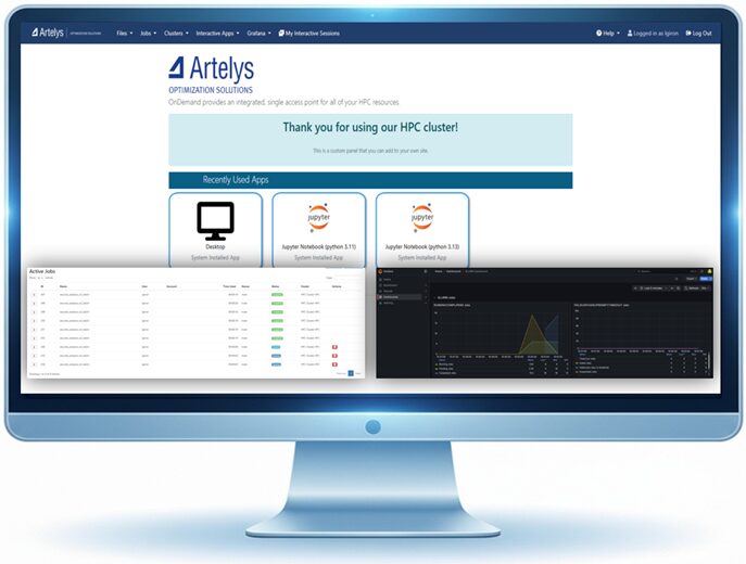
Artelys Crystal HPC: Our integrated, sovereign High-Performance Computing (HPC) managed platform for industries
— Organizations that run complex simulations, large-scale optimizations, or sensitive calculations face a threefold challenge: securing the computing power to match their ambitions, ensuring data sovereignty, and avoiding weeks of setup time before seeing initial results.
subscribe to our newsletters
© ARTELYS • All rights reserved • Legal mentions